Salar de Uyuni Facts, Location, and Geography
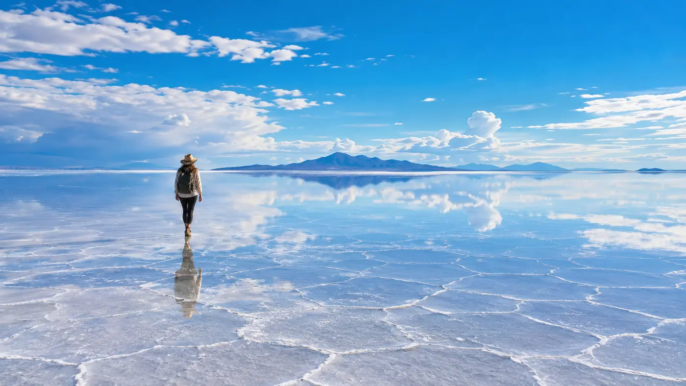
Standing in the middle of Salar de Uyuni feels like standing on an endless tabletop made of blinding white crystal. Your depth perception dissolves in minutes. I remember trying to judge whether a parked Toyota Land Cruiser was two hundred yards away or half a mile off; my eyes just gave up. When people start looking into facts about salar de uyuni, they usually want to know how big it is or how it formed, but the sheer physical disorientation is what really hits you first. It stretches beyond the curve of the earth, silent and completely surreal.
This massive crust in southwest Bolivia spans over 10,000 square kilometers across the Altiplano. It holds some of the planet's stranger geological anomalies, including prehistoric lake beds, giant lithium reserves, and hexagonal salt tiles baked under high-altitude sun. Understanding the landscape requires looking at the numbers, the geography, and the slow climatic shifts that dried out an inland sea thousands of years ago.
Book your Salar de Uyuni tour experience:
Geographic Facts About Salar de Uyuni: Size, Altitude, and Coordinates
The numbers behind the world's largest salt flat sound exaggerated until you actually cross it in a 4x4. The plain covers roughly 10,582 square kilometers (about 4,086 square miles). That makes it roughly the same size as the entire country of Jamaica, or about a hundred times larger than the Bonneville Salt Flats in Utah. You can drive in a straight line for three hours at highway speeds and see nothing change on the horizon except the slow rotation of distant volcanic peaks.
The surface sits at an elevation of 3,656 meters (11,995 feet) above sea level. That high altitude means the air is thin, crisp, and bone-dry. The atmospheric pressure drops significantly here, which catches many travelers off guard during their first afternoon. If you walk uphill on one of the isolated rocky islands, your lungs burn after twenty paces. Solar radiation is intense because the atmosphere filters out less ultraviolet light, and the brilliant salt crust reflects nearly eighty percent of the sun back up at your face.
Geographers place the center of the salt flat around 20°08′0″ South and 67°29′20″ West. What makes this area unique across the globe is its extraordinary flatness. Over thousands of square kilometers, the elevation varies by less than one meter. Because it is so level and covers such a broad area, NASA uses the surface of Salar de Uyuni to calibrate the altimeters on Earth-observation satellites. The radar waves bounce off the hard, dry crust with unmatched consistency.
| Salt Flat / Salar | Country | Approximate Surface Area | Surface Elevation |
|---|---|---|---|
| Salar de Uyuni | Bolivia | 10,582 sq km (4,086 sq mi) | 3,656 m (11,995 ft) |
| Salinas Grandes | Argentina | 6,000 sq km (2,300 sq mi) | 3,450 m (11,320 ft) |
| Salar de Atacama | Chile | 3,000 sq km (1,200 sq mi) | 2,300 m (7,500 ft) |
| Bonneville Salt Flats | United States | 104 sq km (40 sq mi) | 1,280 m (4,200 ft) |
Pro tip: Bring specialized glacier sunglasses with category 3 or 4 UV protection. Regular street fashion shades will leave your eyes aching and bloodshot after two hours under the blinding glare.
Where Is Salar de Uyuni Located? Map and Boundaries
People often ask where the salt plains sit on the continent. Salar de Uyuni is located in the Daniel Campos Province of the Potosí Department, extending north into the Oruro Department, in the extreme southwest corner of Bolivia. If you pull up a continental map, the region sits near the elbow where Bolivia, northern Chile, and northwest Argentina share borders. It anchors the southern tier of the central Andean plateau, known locally as the Altiplano.
Getting there usually involves transit through the small gateway town of Uyuni, which sits right on the eastern lip of the salt crust. The town originally grew around railway junctions built in the late nineteenth century to haul silver, tin, and minerals toward Pacific ports. If you are figuring out transit logistics, reading up on how to get to Salar de Uyuni will help you decide between taking an overnight bus from La Paz, hopping a short domestic flight, or hiring a private vehicle from Sucre.
The edges of the salar bump directly into jagged volcanic landscapes. To the north rises Mount Tunupa, an extinct volcano striped in shades of orange, purple, and pale yellow, towering over 5,300 meters high. To the west and south, the plain transitions into the Eduardo Avaroa Andean Fauna National Reserve, where you run into high-altitude geothermal fields, red and green mineral lagoons, and massive fields of wind-carved ignimbrite boulders.
- Incahuasi Island: A steep, hilly outcropping of fossilized coral and volcanic rock in the central basin, covered in giant trichocereus cacti that grow just one centimeter per year.
- Colchani Village: The primary processing settlement on the eastern edge where local cooperative members shovel and refine raw table salt by hand.
- Mount Tunupa: A sacred volcano on the northern shore containing ancestral burial caves with preserved pre-Incan mummies overlooking the white basin.
- Isla del Pescado: A fish-shaped rocky ridge northwest of Incahuasi, far less visited by tour convoys and surrounded by thick salt crust.
Geological Formation: Ancient Lakes and Lithium Reserves
The ground beneath your boots did not form overnight. Roughly 40,000 years ago, this entire section of the Altiplano was submerged under Lake Minchin, a massive body of glacial meltwater. As the climate warmed and regional precipitation patterns shifted, the lake shrank. It left behind Lake Tauca, which itself evaporated around 15,000 years ago, leaving smaller transitional bodies of water like Lake Coipasa and Lake Poopó.
The basin has no natural drainage to any sea or ocean. It is an endorheic drainage system. When the ancient water evaporated under the searing Andean sun, it had nowhere to drain, so all dissolved minerals and salts concentrated on the basin floor. Over millennia, repeated cycles of flooding and drying created layered deposits of thick salt crust, mud, and mineral-saturated brine.
The solid salt crust ranges in thickness from a few dozen centimeters around the margins to more than ten meters in the deep center. Beneath that solid upper shell sits a subterranean reservoir of lithium, magnesium, potassium, and sodium chloride brine. Geologists estimate that the brine pool underneath Uyuni holds roughly 21 million metric tons of lithium. That represents a significant portion of the entire known lithium reserves on our planet.
Note: Industrial lithium extraction plants operate near the southern shore around the village of Llipi; standard tour routes avoid these industrial zones, staying in the pristine northern and central corridors.
Book your Salar de Uyuni tour experience:
Climate, Weather Cycles, and the Mirror Effect
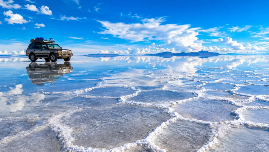
The landscape changes drastically between the dry months and the wet season. During the austral winter, from May through October, the salt crust dries out completely. As the moisture evaporates out of the top layer, the salt contracts and fractures into geometric patterns. Millions of raised hexagonal ridges stretch into the distance, looking almost like an endless honeycomb carved out of plaster.
The wet summer season runs from late December through March. Summer thunderstorms roll off the eastern mountains and dump sheets of rain onto the plateau. Because the basin is flat and hard, the water cannot drain away or soak through quickly. It settles into a shallow pool ranging between two and twenty centimeters deep across hundreds of square miles.
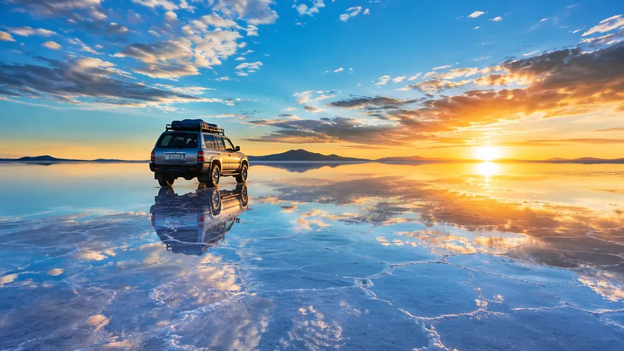
When the wind dies down, that thin layer of water turns the salt into the largest natural mirror on earth. The sky, clouds, and surrounding peaks reflect with perfect optical clarity. Walking across it feels like stepping straight into open air, with clouds above you and clouds beneath your boots. Choosing when to visit depends entirely on whether you prefer the cracked white desert or the surreal water reflections, and our guide on the best time to visit Salar de Uyuni breaks down those seasonal trade-offs month by month.
Temperatures swing wildly within a single twenty-four-hour cycle. In July, daytime highs hover around 15°C (59°F) under blazing sun, but once night falls, the mercury drops down to -10°C (14°F) or colder. Strong winds sweep across the open plain without trees or terrain to slow them down, dropping the windchill factor even further.
Wildlife, Ecology, and the Human Landscape
At first glance, the salt desert looks completely dead. Nothing grows on the crust itself, and no animals live on the bare salt bed. If you look closer around the edges and on the isolated rocky islands, life has found weird ways to adapt to the salt and cold.
Incahuasi and Isla del Pescado are essentially coral reefs from prehistoric lakes that were lifted into the sky by tectonic forces. They harbor colonies of mountain viscachas, which look like long-tailed chinchillas or small rabbits, sheltering in rocky crevasses. Andean foxes hunt along the fringes of the flats, surviving on small rodents and scraps around human settlements.
The surrounding mineral lakes host three distinct species of flamingos: the James's flamingo, the Andean flamingo, and the Chilean flamingo. They feed on microscopic red algae and brine shrimp in the brackish lagoons that ring the salt plain. Their bright pink feathers contrast vividly against the white crust and dull red mountain slopes.
- Giant Columnar Cacti: These Echinopsis tarijensis specimens survive on the rocky islands, growing at an altitude where few woody plants can exist, some reaching over nine meters in height.
- Colchani Salt Workers: Local families scrape salt into conical drying mounds using picks and shovels, gathering over 20,000 tons annually for regional commercial use.
- Salt Architecture: Because wood and bricks are scarce on the barren plateau, locals quarry hard salt blocks from the crust to build hotels, tables, beds, and decorative structures.
The human history here goes back thousands of years. Indigenous Aymara and Quechua communities have lived along the borders of the salt flat for generations, using ancient llama caravan routes to trade mined salt for corn, coca leaves, and potatoes grown in the lower valleys. Their mythology tells that the salar was formed from the tears and breast milk of the goddess Tunupa after she was abandoned by her lover.
The environment is harsh, remote, and fragile. Vehicle tires slowly wear down the natural polygon formations in dry months, and seasonal litter from tour convoys requires constant monitoring by local authorities. The balance between mineral mining, regional heritage, and adventure travel remains a delicate conversation across the communities bordering the salt plains.
Frequently Asked Questions about facts about salar de uyuni
In which country is Salar de Uyuni located?
Salar de Uyuni is located in southwest Bolivia, within the Daniel Campos Province of the Potosí Department, near the borders with Chile and Argentina.
How deep is the salt layer in Salar de Uyuni?
The solid salt crust varies between a few centimeters at the outer edges to over ten meters thick near the middle, with a subterranean brine pool that extends down dozens of meters below the surface.
Why are there hexagonal patterns on the salt flats?
The hexagonal shapes form during the dry season as the high-altitude sun evaporates remaining surface moisture. The shrinking salt cracks and recrystallizes along natural structural stress lines, forcing mineral edges upward into distinct geometric ridges.
Can vehicles sink into the salt flats?
During the wet season, cars can get stuck in soft underlying mud if drivers stray off known safe routes, and the corrosive salt water can severely damage vehicle brakes and undercarriages.
Quick Reference
- Total area: 10,582 square kilometers
- Elevation: 3,656 meters above sea level
- Estimated lithium share: ~20% of global resources
- Mirror season: January through March
- Primary gateway: Uyuni, Bolivia
Book your Salar de Uyuni tour experience:
Before You Go
Visiting Salar de Uyuni takes some patience, plenty of warm thermal layers, and an open mind about basic highland travel. You will deal with bumpy gravel tracks, thin mountain air, and bone-chilling overnight temperatures. The reward is experiencing one of the rawest, most expansive geological phenomena anywhere on the planet. Take a couple of days in La Paz or Sucre to acclimate to the altitude before heading out into the desert, pack a proper camera with manual focus settings, and prepare yourself for an unforgettable journey across the white expanse.
Read more about Salar de Uyuni tour.